Geralia Station promoted itself as having
an Exmouth Gulf frontage. Well, the stations are pretty big around here, so 35
km after leaving the main road we found ourselves sharing the foreshores with
terns, dotterels, pelicans and bustards and marveling at the wild nature of
this most isolated northern outpost of the Coral Coast.
 |
| Caspian terns in a remote part of Exmouth Gulf |
 |
| Caspian Tern trio |
 |
| Red-capped Plover |
 |
| Part of a large pelican flock, Geralia Station |
 |
| Australian Bustard takes flight |
Geralia managers have decided that tourism
now pays better than the cattle that they once ran here. The jillaroos’
quarters now stand among a diversity of station buildings gradually acquiring
the patina of age except where an enthusiastic itinerant camp host has
practiced his mural skills. If you listen carefully you can still “hear” the
excited chatter of workers sharing the highs and lows of another day coaxing
cattle to grow on the native herbage which all but disappears in bad years.
 |
| Original Jillaroo quarters, Geralia Station |
 |
| Spartan accommodation for Jillaroos (Female station-hands) |
But here, some recent passing showers have
coaxed a few colourful Parakeelyas to bloom, raising hopes of new floral
highlights along this part of the Western Australian coast.
Campfire drinks and shared travellers’
tales under a full moon helped to etch a pleasant memory of this welcome pause
in our journey.
Fields of large termite nests lined our
route into Exmouth. After restocking our campervan, we had our first view of
the World Heritage-classified Ningaloo Reef coast from the Vlamingh Head
Lighthouse. Yet more Humpback Whales cruised just outside the reef front
raising expectations of more close encounters of the leviathan kind. We counted
ourselves lucky to have pre-booked a bush camping site at “Kurrajong” behind
the dunes in the Cape Range National Park. This was a good base to explore
three protected snorkeling sites off the beach.
 |
| Termite mounds towards Exmouth Gulf...an ever-changing landscape |
 |
| World Heritage coast south of Vlamingh Head lighthouse. Whales cruised beyond the reef |
 |
| Kangaroo neighbours at Cape Range National Park campsite |
The trick was to choose the right tide to
avoid being swept out to Madagascar, and allow the current to take you on a
northerly drift over the coral gardens, then arc your way into shore before
being flung past a sand spit…your last potential contact with land. Once you
got your timing right, your fears were allayed and you trekked back along the
beach for another “go”. I am still here to tell the tale having mastered the
challenges of Turquoise Bay, the Oyster Stacks and Kurrajong.
 |
| The start of "The Drift" at Turquoise Bay, Coral Coast |
A far less risky, but still demanding
challenge was to photograph the Osprey coming into feed its young at the radio
tower of the Cape Range National Park Visitors Centre. Here too, galahs
entertained us with feats of aerial gymnastics.
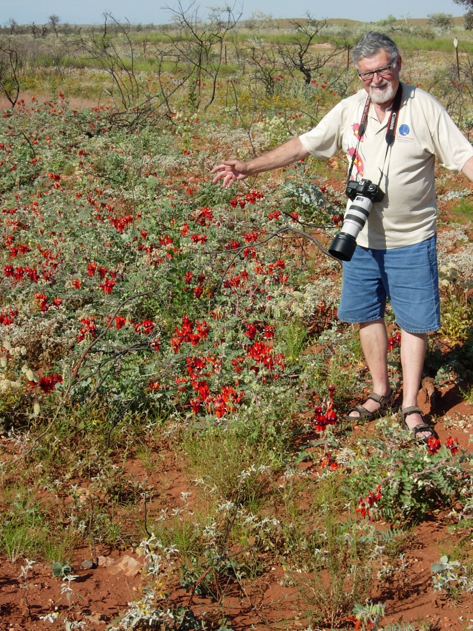
While the flowers were not blooming as profusely as in the
Pilbara, red and white-hearted endemic forms of the Sturt Desert Pea were
fairly common within the National Park. Many plants, including a short
Kurrajong tree were endemic to Cape Range, adding further weight to this
region’s successful claim for World Heritage status.
 |
| Red and white-hearted forms of Sturts Desert Pea at Cape Range National Park |
 |
| Cape range Kurrajong |
Further south, the small village of Coral
Bay had hardly changed since we last visited the region ten years ago. A
proposal to construct a super marina were defeated by a massive public
campaign. The fact that Western Australian author and play-write, Tim Winton as
the campaign’s patron, helped ensure that the natural values of Ningaloo Reef were
not compromised.
 |
| A perfect arc that is Coral Bay |
How long this reef system can withstand the
global trends of rising ocean temperatures is another question. So far, as
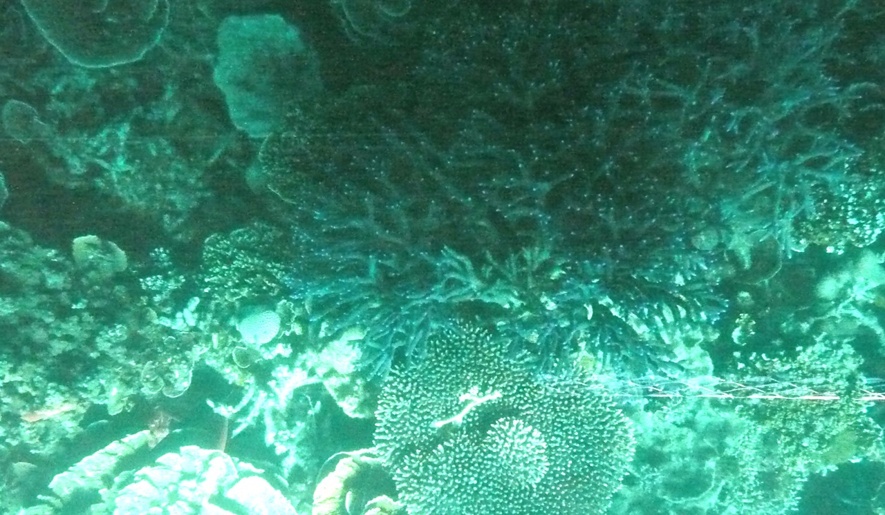
Bronlyn’s pictures from a glass-bottomed boat cruise show that the reef is in
better condition overall than the Great Barrier Reef.
 |
| Glass-bottomed boat for above-water marine explorers |
The symbiotic algae in
the coral tissue seem to be able to resist higher temperatures better than some
Queensland species and so are not abandoning their coral partners. While we could
see many dead branched corals, this is more due to high seas from cyclones
rather than direct water heating impacts.
 |
| A still-healthy coral ecosystem at Coral Bay |
I failed to see the manta ray indicated by
the spotter plane on our six hour ecology cruise out of Coral Bay. What the
promos fail to say is that Manta Rays congregate where water is quite turbid
from a rich plankton soup that they seek out. In other parts of the reef system,
we snorkeled in clearer waters where a diversity of corals and large Spangled
Emperor fish abounded.
 |
| Cruising past the edge of the fringing reef at Coral Bay |
 |
| Gary looks more professional than he really is! |
 |
| Nice snorkelling style, hey? |
A 3.30pm a fish feeding session on the edge of Coral Bay
was a popular (and controlled) activity that attracts the campers from their
vans. These Spangled Emperors now grow huge as a result of fishing restrictions
in sanctuary zones of the marine park.
 |
| Teaching people the message that marine sanctuaries mean more and bigger fish |
Completely unexpected, was the extreme
close encounters with humpbacks that once again filled the lens with action.
These animals never fail to impress, and we considered ourselves lucky to get
so close. We literally got showered from the audible exhaled air/water mix from
a spout of one individual that almost glanced the side of the boat. I had to
wipe my camera lens before continuing.
 |
| Two of our many close encounters with Humpback Whales on a Coral Bay "Ecology Cruise" |
World Heritage values abound in the large
Shark Bay Marine Park located around the tiny town of Denham. The world’s
largest herd (11 000) of dugongs graze on the vast seagrass meadows of Shark
Bay protected from the ocean swells by the 120km long Dirk Hartog and other
ribbon-like islands.
 |
| Denham, Shark Bay and Little Lagoon from the air |
We four traversed 40 km of the wild
Francois Peron National Park to find the odd spring resident dugongs close to
shore…and once again saw whales offshore as well as a manta ray skimming over
the sandy bed. The tip of Francois Peron National Park was also Cormorant
heaven as they lined the shores to dry wings between fishing sessions. The
abundance of wildlife in a landscape of high red sandstone cliffs above the
turquoise seas under cloud-free skies, made this location one of the most
dramatic places on earth we have visited. I must acknowledge the fact that 4WD
was necessary to reach here, and our thanks must go to brother-in law, Gary and
Jillian for the opportunity to share the ride in their vehicle.
 |
| Challenging road 40km north to tip of Francois Peron National Park, Shark Bay |
 |
| An old, gnarled saltmarsh plant has grown Bonsai-style on a salty clay-pan...humans tried to live here! |
 |
| Distinctive red sandstones of Cape Peron |
 |
| Cormorant heaven...a roosting and wing drying strip at tip of Francois Peron National Park |
 |
| Pied and Black Cormorants abound in fish-rich shores of Shark Bay |
 |
| A dugong rises for air above the seagrass meadows in a very isolated part of Shark Bay |
 |
| And can you see the tail that may have helped create mythology about mermaids? |
 |
| This seagrass is a flowering plant, not an algae and provides the food for an estimated 11 000 dugongs in Shark Bay, the world's largest population of this marine, cow-like grazing herbivore |
Apart from the need to visit the
stromatolites, ancient photosynthetic bacteria-like creatures that gave earth
its oxygen, what more could I experience to take in this marine jewel of
Western Australia? I just had to get the big picture from the air! I was lucky
enough to get the last seat on a light plane that headed to the western boundary
of Shark Bay then to Carnarvon for a one hour break then back to Denham along
the entire length of the Francois Peron National Park, traversed earlier by
land.
 |
| Stromatolites at Hamlin Pools, Shark Bay |
Dozens of Humpbacks lolled in this bay,
taking a break from the long swim back to Antarctica. Dugong herds also were
visible. One could only imagine the terror of the passengers in 1712 on the Dutch East
India Company ship Zuytdorp as it
crashed into the cliffs now bearing its name at the end of a wild peninsula
called “Useless Loop".
 |
| Some passengers survived the wreck near here, and perhaps mixed with local Aboriginal people. Some relics are preserved at the Geraldton Museum |
 |
| Useless loop above the Zuytdorp Cliffs is an extreme 4WD destination |
 |
| At the northern tip of Dirk Hartog Island on edge of Shark Bay, the Dutch seaman inscribed a message about his landing on a pewter plate on 25th October, 1616 |
I gave a respectful glance to the horizon
westwards where 270 km away, the wreck of HMAS Sydney has recently been found.
It was sunk by the German Raider Kormoran on 19th November 1941 with
the loss of 645 lives, the entire crew.
After a less than inspiring stroll
around Carnarvon, the return flight gave me a chance to see the landscape
features in Francois Peron National Park from a different perspective.
 |
| Cape peron at northern tip of Francois Peron National Park |
 |
| One of many turquise bays on edge of National Park. Note extensive Sea Grass meadows |
 |
| Another wilderness coastline at Francois Peron National Park |
The dirt station tracks clearly converged at
the Peron Station homestead, just 6 km from Denham. It faced challenges of
drunken shearers who spent smoko at the Denham pub; no reliable fresh water;
bore water that was marginally salty for cattle but is now used for a 400C
hot tub in which visitors may soak; and the homestead now serves as park
headquarters.
 |
| Peron Station Homestead |
 |
| Copious bore water was marginally too salty for cattle |
 |
| A negative can become a positive: A hot-tub of bore water for national park visitors |
So, human endeavours were tried and failed…far better leaving
this dry sandy, salty land to the zebra finches and sand goannas and
the fringing waters to the dugongs, whales, turtles and manta rays.
 |
| A trio of salty clay pans typical of the country failed to support cattle in a sustainable way |
 |
| A Zebra Finch at the Francois Peron National Park entrance |
 |
| A sand Goanna quite at home in this semi-arid wilderness |